
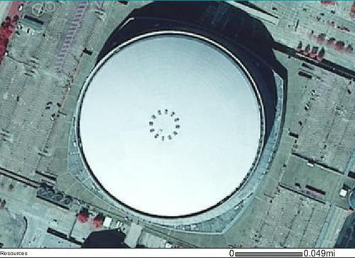
The New Orleans Superdome is pretty big. According to an article this week in the Daily Advertiser (Lafayette, LA), the amount of oil spilled from the BP Macondo well so far would fill up one-seventh (1/7th) of the volume of the Superdome.
Here’s a view of the Superdome from the air, at a scale of 1:2,500. Note the bar for scale. (First four images from the online database of the Louisiana Department of Natural Resources, SONRIS.)
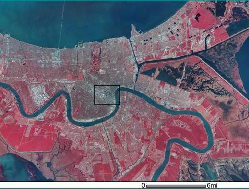
The view at 1:25,000 includes the Central Business District and the French Quarter, plus the Mississippi River Bridge. The box is the approximate outline of the previous photo.

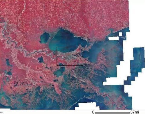
At 1:250,000, the Dome is still visible.
At 1:1,200,000, the Dome is no longer a pixel. This view shows the lower Mississippi from Baton Rouge to the Gulf. Of particular interest are the extremely fragile coastal marshes and barrier islands.
And then, the satellite view: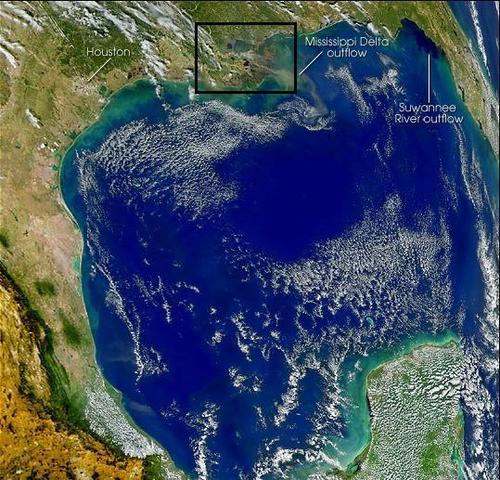
Don’t get me wrong; just a few barrels of oil in the wrong place (like a pelican rookery) can be devastating. It fouls marshes and beaches.
But it’s good to keep the images above in mind when you see ridiculous crapola like this:
…or this:
But dumba$$3s like this are beyond help:
Cross-posted to VladEnBlog.


Join the conversation as a VIP Member